Description
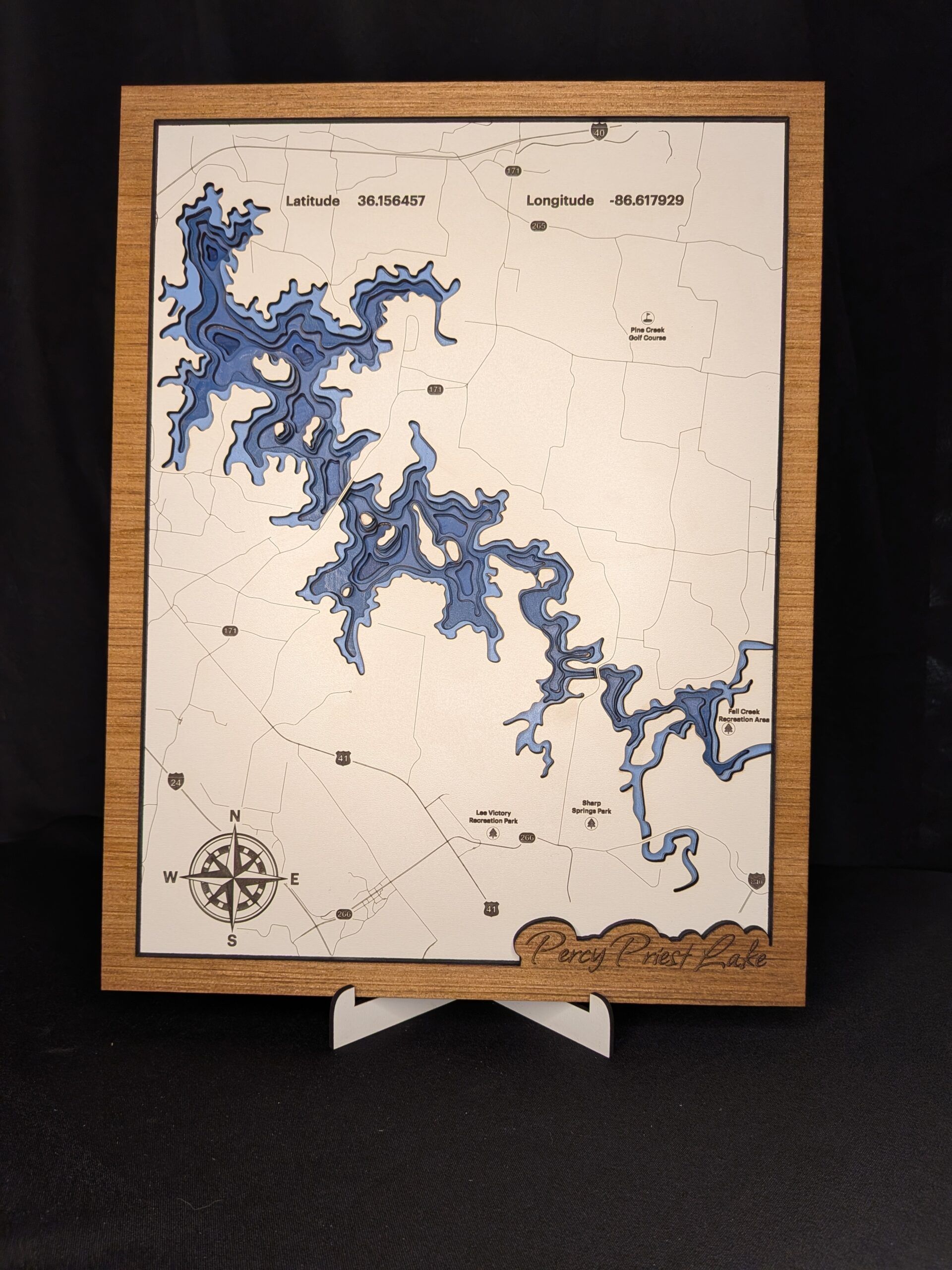
This beautiful piece is made from several layers of 1/8″ and 1/4″ wood, showing the depth map of one of the most visited lakes in Middle Tennessee. Percy Priest Lake is fed in by the Stones River out of Murfreesboro and is dammed up near I-40 before it eventually flows into the Cumberland River and later on to the Mighty Mississippi. Mark you favorite fishing spot, or at least the spot that you tell others!
Reviews
There are no reviews yet.