Description
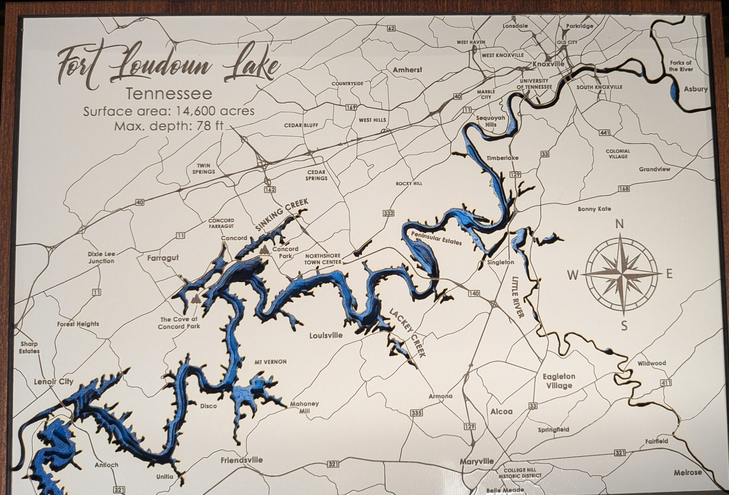
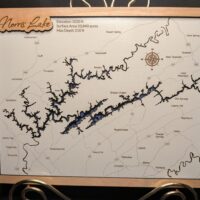
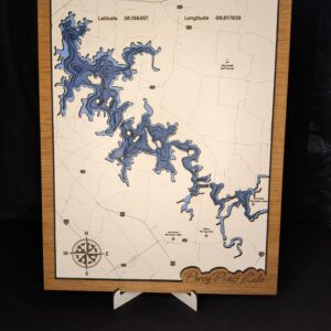
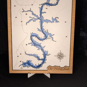
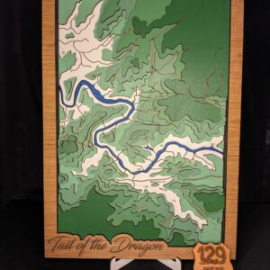
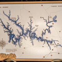
This beautiful piece is made from several layers of 1/8″ and 1/4″ wood, showing the depth map of the lake formed at the mouth of the Tennessee River. At one end we have the convergence of the French Broad and Holston River to form the Tennessee River and stretching all the way down to the dam in Lenoir City. This map has been filled with resin to protect the delicate cuttings and to give that watery glisten as the light reflects off of it. Perfect for displaying on your wall or with an easel on your desk.
Reviews
There are no reviews yet.